 SKYLINE BLVD DRIVE ROUTE SUGGESTION
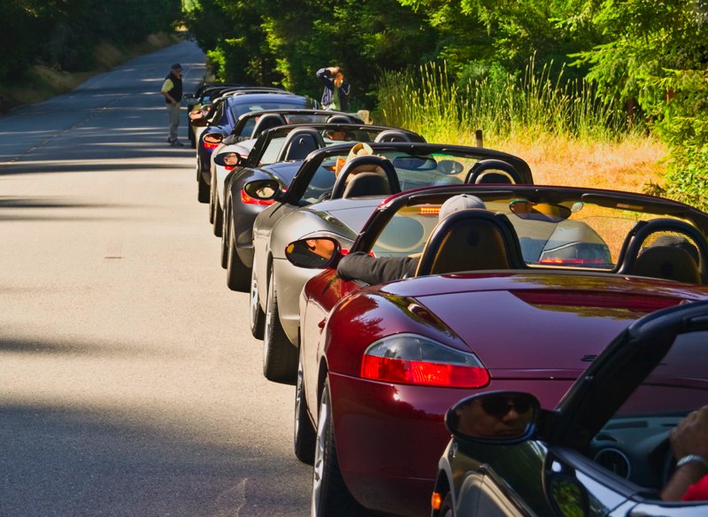
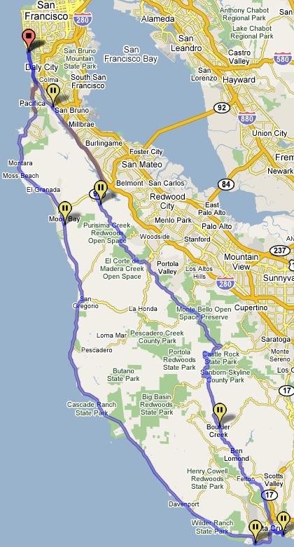
Meet at Fort Funston at 10:30AM, and drive South from there to Santa Cruz along Skyline Blvd (Hwy 35). Expect temperatures in the mid-60s and possibly fog in San Francisco, so the first stop will be a stop will be a Starbucks in Pacifica (also the last gas stop). Skyline Blvd is a gently winding mostly shaded road at the top of the Santa Cruz Mountains, with views of the San Francisco Bay Area to the East and the ocean to the West.
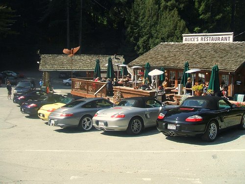
Halfway down Skyline, stop at Alice’s Restaurant for bathroom and beverages, and then head down the hill to eat lunch at the Crows Nest. After lunch, drive along Cliff Drive through Santa Cruz and then head up Highway 1 along the coast.
A Drive on the Peninsula, Bay Area
Rate this:
Share this:
- Print (Opens in new window) Print
- Email a link to a friend (Opens in new window) Email
- Share on Facebook (Opens in new window) Facebook
- Share on Blog (Opens in new window) Blog
- Share on Reddit (Opens in new window) Reddit
- Share on Pinterest (Opens in new window) Pinterest
- Share on X (Opens in new window) X
- Share on LinkedIn (Opens in new window) LinkedIn
- Share on Tumblr (Opens in new window) Tumblr
- Share on Post to FriendFeed (Opens in new window) Post to FriendFeed
- Share on Telegram (Opens in new window) Telegram
- Share on WhatsApp (Opens in new window) WhatsApp
